Monday, August 25, 2014

Santiago de Compostela

June 14 Santiago de Compestela
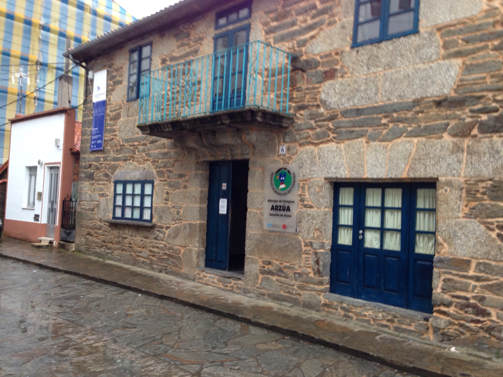
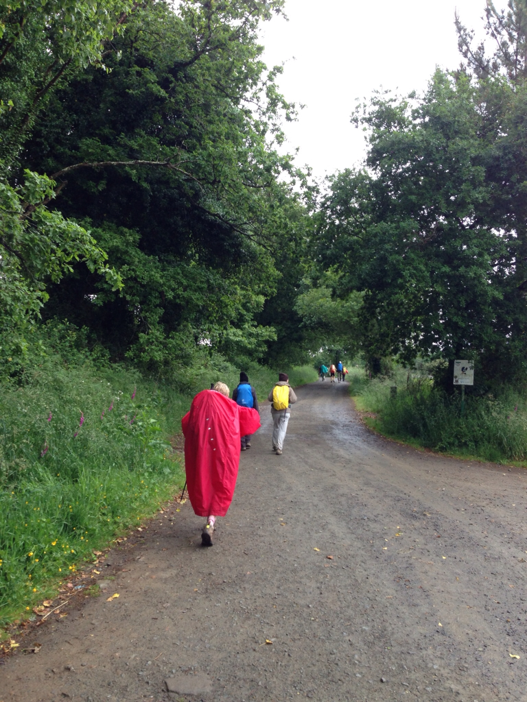
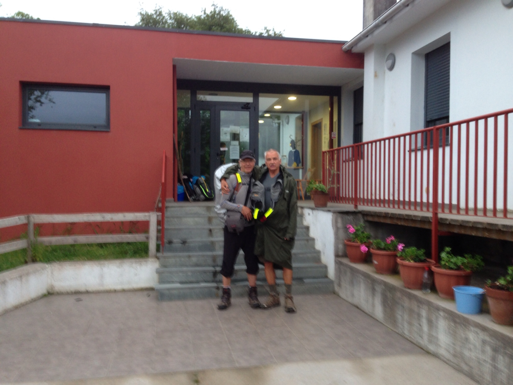
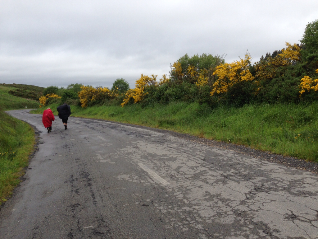
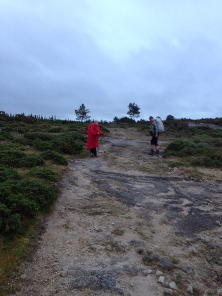
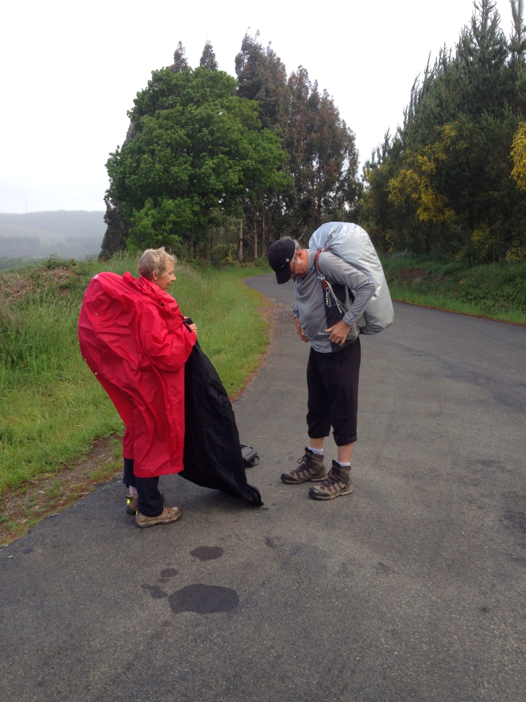
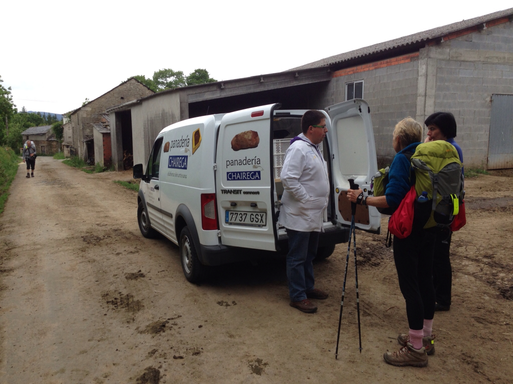
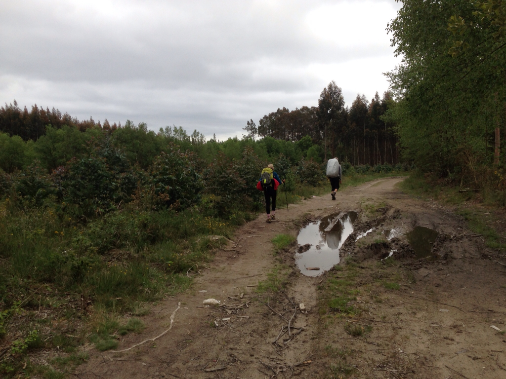
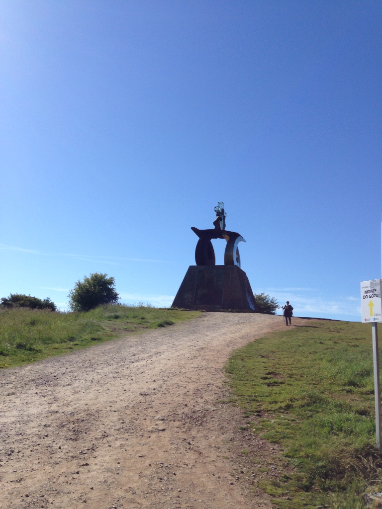
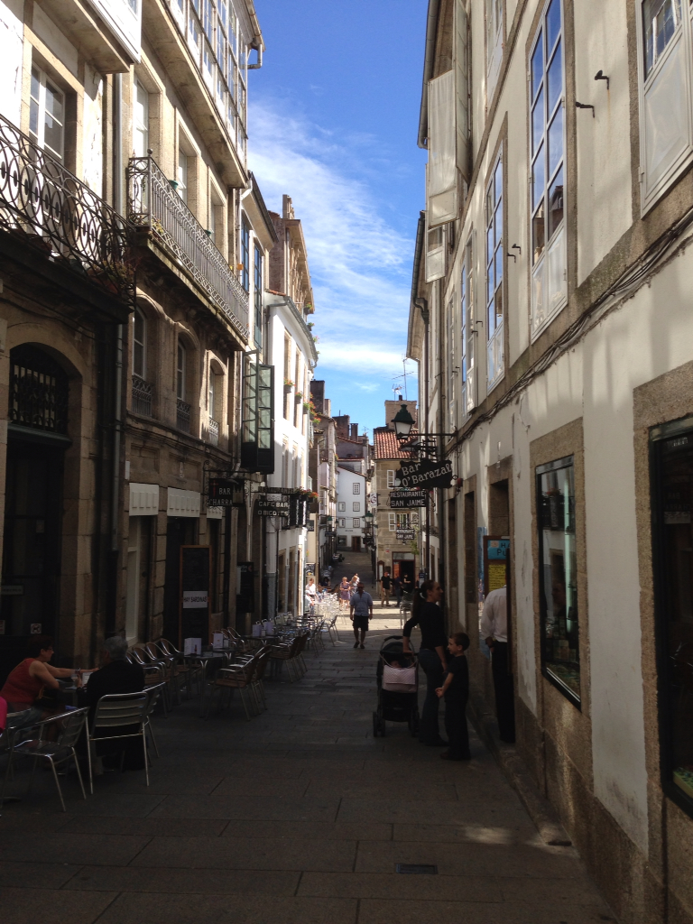
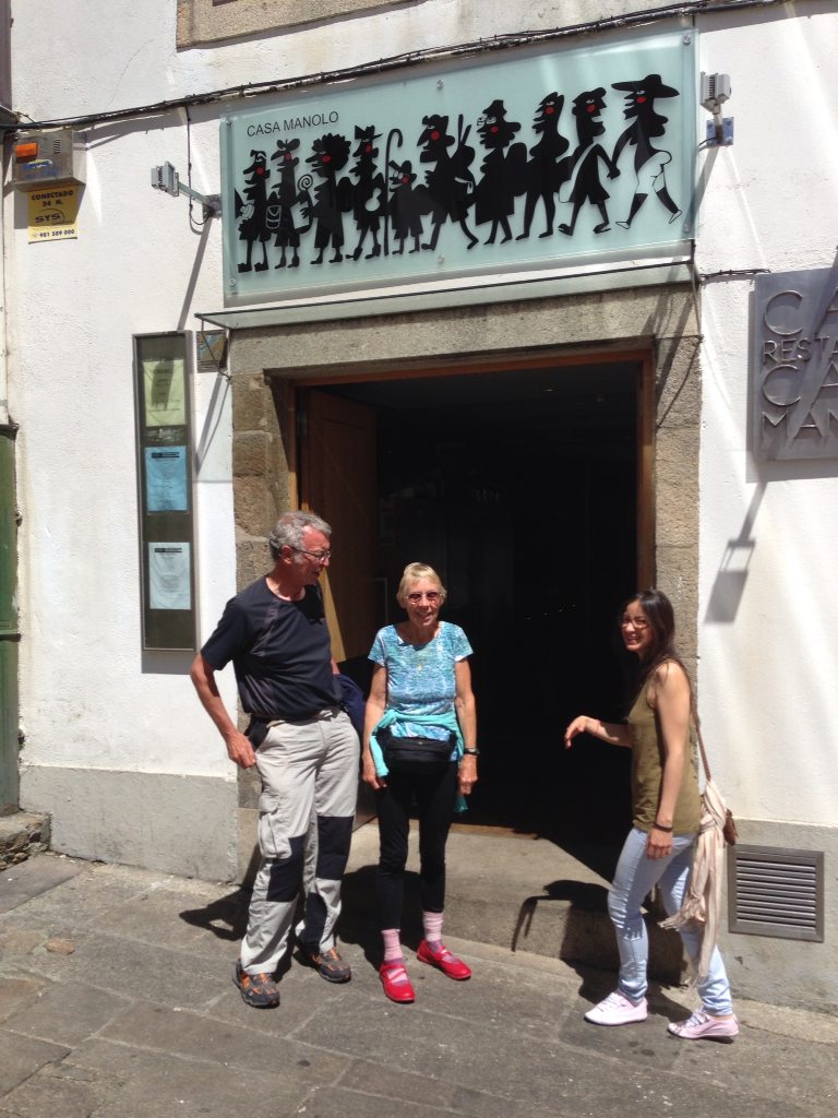
We left our lovely albergue in Santa Irene after a good nights sleep and a delicious homemade dinner. We met George in fromt of a cafe Che in Pedrouzo. After a cup of coffee and toast with jam, we started our last treck together. We walked up some dirt roads with probably more pilgrims than we had seen in a month. We passed through a town called Lavacolla. In the old years, the pilgrims would wash themselves from head to foot in a little brook before entering Santiago. We of course have had so much rain we felt well washed. Finally we arrived at Monte de Gozo. Translated it means mount of joy. This is the place where you could see the towers of the cathedral about 5k away until the city grew so big as it is today. The Cathedral of Santiago whose construction began in 1075 is one of the great European monuments. From its Romanesque origins it evolved through a number of styles. The baroque elements are probably the most out standing. During a visit to the cathedral the pilgrims carry out a ritual. You go to the chapel of the main alter to touch or embrace the statue of St James the apostle. You then go to the pilgrims office to receive your Compestela that certifys you made the pilgrimage. We walked through the cathedral and waited in line at the pilgrims office for our Compestela. Afterwards, we went to the Hostel Bolarado and George went to an Albergue he has stayed at several times. We met for lunch and George treated us to a delicious lunch at the resturaunt Casa Manolo which is well known in Santiago. After a walk and another beer we had to say good by to our friend and leader, George. He will be walking on to Finisterra and Muxia.
We would like to give a special thanks to the people of Spain from the cafe owners, hosteleros, small in keepers, to the people on the street who helped and encouraged us.
"Often I look up into the clouds and daydream about a better world. But my dreams will never bear fruit unless I keep turning my eyes again and again back to the dust of this earth and listening to what God is saying to me on the road of life. For I am connected to the earth and to all who walk the earth with me. Nature is not the background to our lives; it is a living gift that teaches us about the ways and will of the Creator." Reflexion from the Henri Nouwen Society. Sent to us by John Pigott.
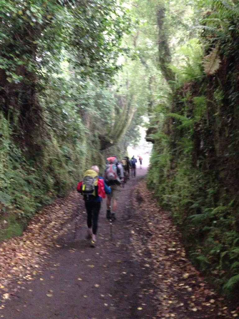
Many pilgrims.
Getting closer.
Finally sun at the Mt. Gozo
Mountain of Joy.
Our Grandest reward. Cathedral at Santiago.
Who carried whom?
A Back street
Casa Manolo. Thank you George for the final delicious meal and wearing your new pants.
George, once you stop walking you will have to cut back on portion size.
Lined up to receive Compostela.
The End. Thanks for joining us. Joan and Stu
OTHER BLOGS:
Caminowalkabout.blogspot.com (Frances, Finisterra, Muxia)


Click on "View on Map" below
Stu uses MotionX-GPS on the iPhone and is sharing with you the following track:
Name: Santiago de Compestela
Date: Jun 14, 2013 6:21 am
Map:
(valid until Dec 11, 2013)
View on Map
Distance: 23.4 kilometers
Elapsed Time: 5:23:29
Avg Speed: 4.3 km/h
Max Speed: 5.8 km/h
Avg Pace: 13' 49" per km
Min Altitude: 246 m
Max Altitude: 400 m
Start Time: 2013-06-14T04:21:12Z
Start Location:
Latitude: 42º 55' 01" N
Longitude: 8º 19' 56" W
End Location:
Latitude: 42º 52' 47" N
Longitude: 8º 32' 33" W


Thursday, June 13, 2013

Santa Irene

June 13 Santa Irene

We bid George a fair well this morning at the conclusion of breakfast. We were unable to book him a place in this most charming Alberque in Santa Irene. The Camino is very crowded with pilgrims walking the French way. We have heard from several pilgrims the albergues were full when they arrived; and, they had to walk on many more kilometers. Joan called all the suggested places and they were full. When we next see George at 1800 tomorrow for dinner, he will have a grand story to tell. You can only book ahead in the private albergues. The municipal albergues are first come first served. George was off early to ensure a bed. We dragged our feet because we had only 17k to Santa Irene which is a beautiful private albergue that we visited two years ago. You cannot arrive too early because they have to be thoroughly cleaned. The entire trip we have been up early and going fast and far. It is difficult to slow down. Lots of pilgrims on the road from all over the world. We met a young woman from Thailand who was born in Saudi Arabia and is studying in Ohio. We arrived at Santa Irene too early of course. We went into the garden and had a small lunch. This is a private albergue. It is 13€ a night and 10€ for dinner. It comes with sheets on the bed and towels for your shower. This is a stop you should not miss; but, be sure you call ahead!!! 981 511 000

Just a small portion for George.

I will always remember our many coffee stops. Thank you so much George for helping us complete this grand adventure. You will remain indelibly in our thoughts. Cheers, Joan and Stu

Where we stayed in Arzua.

Waiting to start. We don't want to arrive too early in Santa Irene.

Hey, we started in rain.

Pilgrims Alberque Arzua

Reflection on times past.

Alone with your thoughts.

Rained early now the sun has come out.

Art

We are part of the crowd.

A diet coke of course.

Cravings

Our beds

Living room where we are writing this page


Stu uses MotionX-GPS on the iPhone and is sharing with you the following track:

Almost Done!!!!!


Name:Santa Irene
Date:Jun 13, 2013 7:56 am
Map:
(valid until Dec 10, 2013)
View on Map
Distance:16.6 kilometers
Elapsed Time:3:58:04
Avg Speed:4.2 km/h
Max Speed:5.8 km/h
Avg Pace:14' 18" per km
Min Altitude:304 m
Max Altitude:415 m
Start Time:2013-06-13T05:56:06Z
Start Location:
Latitude:42º 55' 41" N
Longitude:8º 09' 30" W
End Location:
Latitude:42º 55' 01" N
Longitude:8º 19' 56" W


Wednesday, June 12, 2013

Arzua

June 12. Arzua.

The northern way approaches Arzua with uphill and downhill slopes. We travel through woods and besides farmland. We pass by three churches. The last church in Sendelle is a big surprise . It is a roman church built in 1200. The nave has pictures painted from the 18 th century. We stopped there and were given a tour. Just a beautiful church with beautiful paintings. After 22k we arrived at Arzua the ending point of the Camino Norte. This is where the Northern way merges with the French way. This is where the relative solitude of the country meets the city. It is said that the northern way may have 50 pilgrims to the 500 on the French Way. We checked into Albergue Turistico Santiago Apostol. They have dorm rooms for 10 and a 3 bed room for 12€ each. We got a lovely room but it smelled like dead mice. I asked for another room which we got. Still dead mice smell a little less with windows and doors open. As we share laughter, wine, salami, cheese, fresh wheat bread, cherries and chocolate cakes we realize that in two days we will meet again for our last shared evening meal. This saddens us. Why? We three agree you have to de daft to walk the Norte. The why will never be answered.


.

Morning sun

Beautiful day to end with.

The Camino Norte mostly roads. .

The church in Sendelle.

Stu uses MotionX-GPS on the iPhone and is sharing with you the following track:

Name:Arzua End of Norte
Date:Jun 12, 2013 6:53 am
Map:
(valid until Dec 9, 2013)
View on Map
Distance:22.0 kilometers
Elapsed Time:4:58:55
Avg Speed:4.4 km/h
Max Speed:5.3 km/h
Avg Pace:13' 35" per km
Min Altitude:316 m
Max Altitude:571 m
Start Time:2013-06-12T04:53:26Z
Start Location:
Latitude:43º 02' 25" N
Longitude:8º 01' 25" W
End Location:
Latitude:42º 55' 45" N
Longitude:8º 09' 20" W


Tuesday, June 11, 2013

Sobrado

June 11. Sobrado


We had a lovely breakfast at our albergue of toast and coffee. The breakfast started at 0630 which is early for an albergue but great for us. In Galicia you are suppose to be out the door by 0800. The hostileras have to clean the kitchen and bathrooms and the dorms. In this lovely place they had a bottom sheet and a pillow case on the beds as well as a warm blanket. So the hostileras have to do all the laundry for 24 beds. The other albergues in Galicia give you a paper gauze sheet and pillow case. We had 2 wonderful women one from LA in California and one from Devin in England The kitchen does not close until 2330. That makes for a long day, specially when working with pilgrims who can't find anything unless a yellow arrow is pointing at it. We started our walk and were surprised to leave the gorgeous green fields and start walking over Heath or scrub land. This barren land reminded us of the camino plata. Our first stop was a small bar in Roxica. We reentered an area of green fields and forests.
After a long stretch in which unrefined nature borders the way an enormous artificial lake appears in sight. This lake was made in the 1500's by the monks at the monastery. It was to bring water to the monetary as well as irrigate and for fish. Today it is a major ecological refuge. Dragon flies, frogs, ducks and otters live here. It is surrounded by willows, alders, birch and ash trees.
The walk was only 25 k but certainly seemed longer. We finally arrived in Sobrado. We decided to stay in a hotel rather then the Monastery.

Leaving Miraz's Alberque.

Monestary Sobrado

Monestary Sobrado

Sobrado lake

Sobrado lake

Sobrado square

Soaking feet.

The Camino.

The Camino.


Ancient wall.

Helping George.

Stu uses MotionX-GPS on the iPhone and is sharing with you the following track:

Name:Sobrado
Date:Jun 11, 2013 6:59 am
Map:
(valid until Dec 8, 2013)
View on Map
Distance:25.4 kilometers
Elapsed Time:5:52:37
Avg Speed:4.3 km/h
Max Speed:6.0 km/h
Avg Pace:13' 53" per km
Min Altitude:456 m
Max Altitude:717 m
Start Time:2013-06-11T04:59:54Z
Start Location:
Latitude:43º 06' 49" N
Longitude:7º 50' 24" W
End Location:
Latitude:43º 02' 26" N
Longitude:8º 01' 20" W


Monday, June 10, 2013

Miraz

June 10. Miraz

We started early before 0600 because we had a long way about 33k to get to Miraz. There is an albergue there sponsored by the English conforternity. George had been a member for several years and wanted to look it over. He had fantasies of tea on the porch in the afternoon. We crossed two bridges and walked through woods of maple and pine and eucalyptus. We walked on country roads passing a house or two. Places to small to be called hamlets. We stopped at Baamonde for coffee and groceries. We were warned that between Baamonde and Miraz there are no grocery stores. If we wanted to have dinner we needed to carry food. Shortly after leaving Baamonde we thought we saw something moving towards us in the pedestrian lane. We could not believe what we saw. It was like a small covered wagon being pulled not by horses but by a tractor engine. An elderly Swiss couple had driven it fom France to Santiago then to Finisterre and now back to Switzerland. He told us he had bad feet; but, he wanted to make the pilgrimage. This certainly gave us renewed faith and a little bit more energy. We stopped about 6k from Miraz for coffee and a sandwich. We then soldiered on until we reached the alberque. Along the way we met a man delivering bread so we bought a loaf We arrived about 1300 and learned that the albergue did not open until 1600. We were too tired to walk on, so we went to the only bar in town for a beer. The hostileras were kind enough to open early about 1530 so we got our bunks, showered and were first in the kitchen. George made a delicious pasta and Stu and Joan made a cabbage salad. We had bread salami and olives too. All this was carried the last 12k. We had enough to feed three additional pilgrims.
We have 4 days of walking left. Each shorter than 25K. Tomorrow our last hill.


Bread man.

The Camino.

Side of covered wagon.

Swiss pilgrims.

The Camino.

Table set for breakfast.

Thank you hostileras

Stu uses MotionX-GPS on the iPhone and is sharing with you the following track:

Name:Miraz
Date:Jun 10, 2013 5:52 am
Map:
(valid until Dec 8, 2013)
View on Map
Distance:32.5 kilometers
Elapsed Time:7:40:11
Avg Speed:4.2 km/h
Max Speed:5.7 km/h
Avg Pace:14' 09" per km
Min Altitude:393 m
Max Altitude:532 m
Start Time:2013-06-10T03:52:48Z
Start Location:
Latitude:43º 17' 59" N
Longitude:7º 40' 43" W
End Location:
Latitude:43º 06' 50" N
Longitude:7º 50' 24" W